Traveling can be an exciting experience, but one of the most common challenges is figuring out how to get from one place to another efficiently. A well-designed travel transportation guide map can help you save time, reduce stress, and make the most of your trip. Whether you’re exploring a new city or visiting multiple destinations, having a clear and detailed map of transportation options is essential. In this guide, we’ll walk you through the steps to create a travel transportation guide map that works for your specific needs.
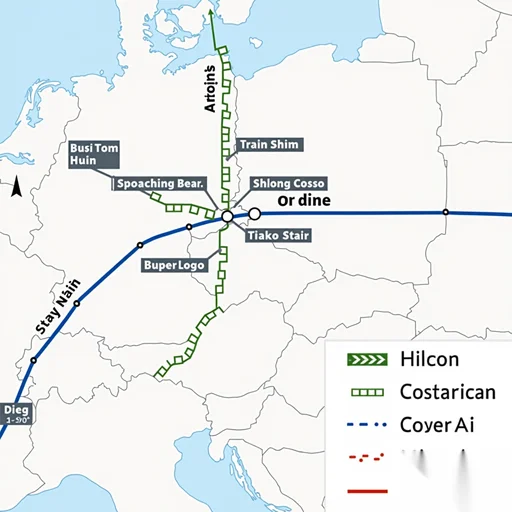
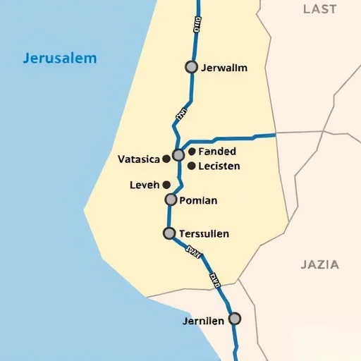
When planning a trip, the first thing you need is a reliable way to navigate the destination. This is where a transportation guide map comes in. A good map should include all the major transportation hubs, such as airports, train stations, bus stops, and ferry terminals. It should also show the routes between these points, along with estimated travel times and distances. By having this information at your fingertips, you can plan your itinerary more effectively and avoid getting lost or stuck in traffic.
Creating a travel transportation guide map starts with gathering the right information. You’ll need to research the transportation options available in your destination. This includes public transport like buses, subways, and taxis, as well as private options like ride-sharing services and rental cars. It’s also important to consider the availability of services during different times of the day, especially if you’re traveling during peak hours or holidays. Once you have this data, you can begin organizing it into a visual format that’s easy to understand.
Next, you should choose the right tools to help you create the map. There are several online platforms and apps that can assist with this process. For example, Google Maps allows you to customize maps by adding markers, routes, and even notes. If you prefer a more hands-on approach, you can use software like Adobe Illustrator or QGIS to create a professional-looking map. Whatever tool you choose, make sure it allows for easy editing and sharing, so you can update the map as needed and send it to your travel companions.
Once you have your map created, it’s important to test it out. You can do this by simulating your travel routes and checking if all the transportation options are clearly marked. It’s also a good idea to ask for feedback from others who have traveled to the same destination. They may have insights or suggestions that can help you improve the map. Additionally, you should always keep a backup copy of the map in case of technical issues or emergencies.
Let’s take a real-world example to see how this works. Suppose you’re planning a trip to Tokyo, Japan. You’ll need to know how to get from the airport to your hotel, the best ways to explore the city, and how to reach nearby attractions like Mount Fuji or Kyoto. A transportation guide map would include the Narita and Haneda airports, major train lines like the Shinkansen and JR Pass, and popular bus routes. It would also show the distances between key locations and the estimated travel times. By using this map, you can plan your day more efficiently and avoid missing any important sights.
In addition to the basic transportation options, your map should also include tips and recommendations. For example, you might want to highlight the most cost-effective ways to travel, such as using the Japan Rail Pass for train rides, or suggest the best times to avoid crowds. You could also include information about local transit passes, discounts for students or seniors, and any special events that might affect transportation schedules. These extra details can make your map more useful and helpful for travelers.
Another important aspect of a transportation guide map is accessibility. If you’re traveling with family members or friends who have different needs, the map should be easy to read and navigate. This means using clear labels, contrasting colors, and intuitive symbols. It’s also a good idea to include alternative routes in case of unexpected changes, such as road closures or service disruptions. By making your map accessible and flexible, you can ensure that everyone in your group can use it effectively.
Finally, you should always keep your map updated. Transportation systems can change over time, so it’s important to check for any new routes, services, or closures. You can do this by regularly reviewing official transportation websites or apps. If you’re planning to visit multiple destinations, you might also want to create separate maps for each location to ensure that all the relevant information is covered. By staying up to date, you can provide accurate and reliable guidance to your travelers.


Comments
匿名
I used this guide to create a map for my trip to Paris, and it saved me so much time! The tips on using the Metro and RER were especially helpful.